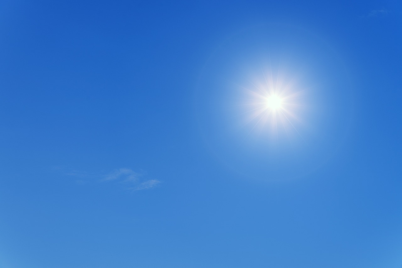
The arrival of the African anticyclone at the end of January brought spring temperatures across the entire Italian peninsula.
Le Forecasts weather forecasts predict mild weather until Sunday 4th February with the increase in temperatures, except at altitudes between 3000 and 3500 meters above sea level, where zero will be reached.
This anomalous heat wave, the consequent absence of rain and the increase in fog in the North, have led to an increase in pollution levels due to the accumulation of fine dust in the lower layers, especially in the areas of the Po Valley.

What will the weather be like next week in February?
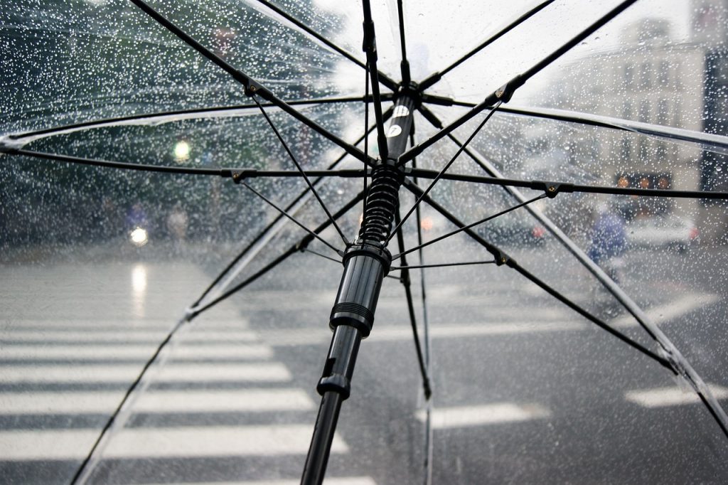
Get your umbrellas ready because starting Wednesday 7th February high pressure will abandon Italy to make way for Maltempo. In addition to the morning mists in the North, the cloud cover will become compact in the Centre-North. Light rain will arrive in Liguria, intermittent drizzle in Tuscany and on the coasts of Friuli.
On Thursday 8 February, in the North and in many regions of the Centre, the sky will be cloudy and foggy in the Po Valley. It will drizzle in Liguria and during the night there will be a worsening of the weather also in the Northwest, while in the South there will still be a spring climate.


